|
Fort Henry National Historic Site
Lieu historique national du Fort-Henry
|
|
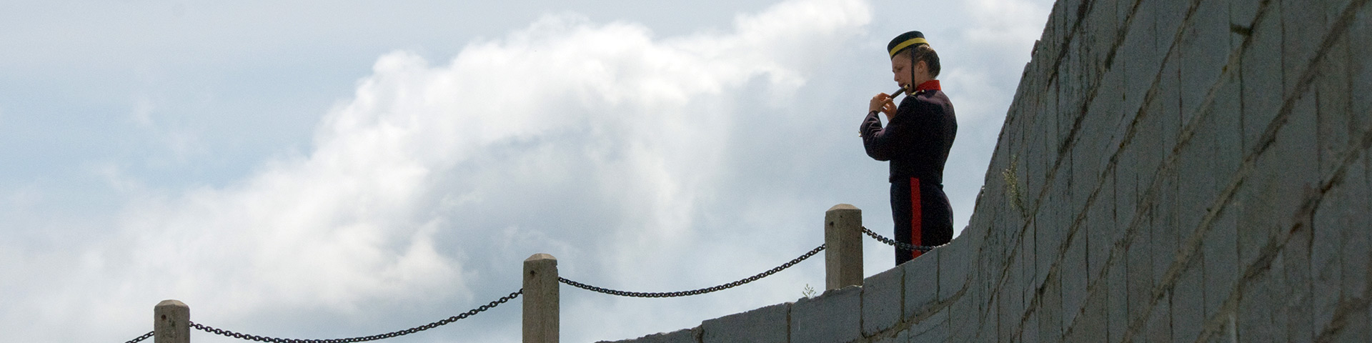 Parks Canada photo | |
|
Fort Henry National Historic Site is a 19th-century British military fortress situated on Point Henry between the mouth of Kingston harbour and a second natural harbour at the mouth of the Cataraqui River. It sits high on a natural cliff facing the confluence of the eastern end of Lake Ontario with the beginning of the St. Lawrence River. The designation refers to the fort, its redoubt, advanced battery, the former "dead zone" to the north and east, and the associated cultural resources found thereon. Le lieu historique national du Fort-Henry, forteresse militaire britannique datant du XIXe siècle, est situé sur Point Henry, entre l’entrée du port de Kingston et un deuxième port naturel à l’embouchure de la rivière Cataraqui. Il se dresse sur une falaise naturelle à la confluence de l’extrémité orientale du lac Ontario et du début du fleuve Saint-Laurent. La désignation cartographique concerne le fort, sa redoute, sa batterie avancée, l’ancienne zone morte au nord et à l’est, et les ressources culturelles associées qui ont été trouvées sur ce site. Source: Parks Canada Website (2022) |
Established: 1923
For More Information Please Visit The OFFICIAL PARKS CANADA WEBSITE  Pour plus d’informations veuillez visiter LE SITE WEB OFFICIEL DE PARCS CANADA Ontario |
Documents
Management Plan / Plan directeur (Parks Canada, 2007)
A Structural History of the Casemated Redoubt, Fort Henry, Kingston, Ontario 1832-1957 (David McConnell, Parks Canada, rev. November 2002)
Drawings: Advanced Battery, Fort Henry (Parks Canada, 2014)
Early Works: Preliminary Glimpses of the First Military Complex at Point Henry, Kingston, Ontario, 1812-1827 (Henry Cary, excerpt from Ontario Archaeology, No. 76, 2003, ©Ontario Archaeological Society)
Heritage Character Statements / Énoncés de valeur patrimoniale, Fort Henry National Historic Site
Caponier / Caponnière (FHBRO No. 96-51, January 7, 1999, Canadian Register of Historic Places)
Commissariat Stores/East Reserve Fire Chamber, Advanced Battery / Magasins de l'intendance/chambre de tir de revers est, batterie avancée (FHBRO No. 96-51, November 12, 1999, Canadian Register of Historic Places)
Commissariat Stores/West Reverse Fire Chamber, Advanced Battery / Magasins de l'intendance/chambre de tir de revers ouest, batterie avancée (FHBRO No. 96-51, November 12, 1999, Canadian Register of Historic Places)
Curtain Wall and Demi-bastions / Courtine et demi-bastions (FHBRO No. 96-51, December 12, 1998, Canadian Register of Historic Places)
East Branch Ditch Tower / Tour East Branch Ditch (FHBRO No. 96-51, November 9, 1999, Canadian Register of Historic Places)
West Branch Ditch Tower / Tour West Branch Ditch (FHBRO No. 96-51, November 9, 1999, Canadian Register of Historic Places)
Heritage Impact Assessment Statement, Fort Henry Discovery Centre at Fort Henry, Kingston: Design Rationale Final Draft (+VG Architects The Ventin Group Ltd., January 4, 2010)
Keeping a Low Profile: An Archaeological Perspective on the Building of Fort Henry (Joseph H. Last, excerpt from Ontario Archaeology, No. 76, 2003, ©Ontario Archaeological Society)
The Pivot of Defence of Upper Canada: An Overview of the Structural History of Fort Henry (Bob Garcia, excerpt from Ontario Archaeology, No. 76, 2003, ©Ontario Archaeological Society)
forthenry/index.htm
Last Updated: 01-Jan-2025