|
Cypress Hills Massacre National Historic Site
Lieu historique national du Massacre-de-Cypress Hills
|
|
 Parks Canada photo | |
|
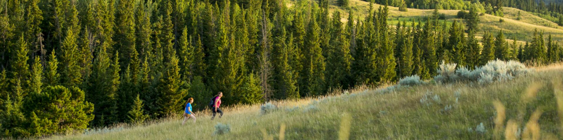
Cypress Hills Massacre National Historic Site is located about 2 km south of Fort Walsh National Historic Site in a broad valley bottom where American traders attacked a Nakoda camp. The rolling Prairies landscape is broken only by reconstructions of two former trading posts, Farwell’s and Solomon’s, involved in the massacre. The formal recognition refers to the associated landscape and archaeological remains surviving from the debacle on what is now Parks Canada’s property, although the actual site of the massacre extends beyond these boundaries. Le lieu historique national Massacre-de-Cypress Hills est situé environ à 2 kilomètres au sud du lieu historique national de Fort-Walsh dans une vallée à fond large où les commerçants américains ont attaqué un camp Nakoda. Le paysage ondulant des Prairies n'est entrecoupé que par la reconstruction des deux anciens postes de traite de Farwell et de Solomon qui furent impliqués dans le massacre. La reconnaissance officielle fait référence au paysage associé et aux vestiges archéologiques qui subsistent de la débâcle sur ce qui est maintenant la propriété de Parcs Canada, quoique le lieu réel du massacre s'étende au-delà de ces frontières. Source: Parks Canada Website (2022) |
Established: 1964
For More Information Please Visit The OFFICIAL PARKS CANADA WEBSITE  Pour plus d’informations veuillez visiter LE SITE WEB OFFICIEL DE PARCS CANADA Saskatchewan |
Documents
Management Plan / Plan directeur (Parks Canada, 2013)
Cypress Hills Ethnohistory and Ecology: A Regional Perspective Archaeological Survey of Alberta Occasional Paper No. 10 (Robson Bonnichsen and Stuart J. Baldwin, Alberta Culture Historical Resources Division, December 1978)
cypresshills/index.htm
Last Updated: 01-Jan-2025